March 10
Area:
Porter Fork
Elevations, slope angles and aspects:
6200’-10400’. Angles to 38°, north and northwest facing.
Avalanche activity:

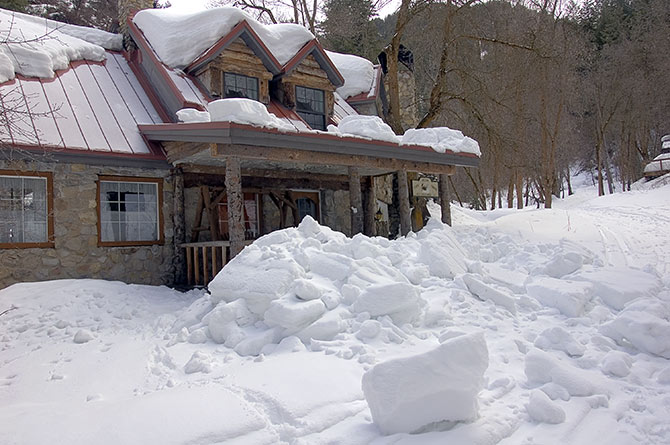
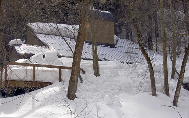
Two roof avalanches on the Porter Fork road. Rumored report of a large slide, full depth on the northwest facing Cabin run. Remotely triggered by a party of 5 traversing the upper wind scoured. 400’+ wide, 2’-4’ deep.

Two roof avalanches on the Porter Fork road. Rumored report of a large slide, full depth on the northwest facing Cabin run. Remotely triggered by a party of 5 traversing the upper wind scoured. 400’+ wide, 2’-4’ deep.
Slopes skied:
West northwest facing from the summit of Gobblers, out porter.
Snow surface and conditions:
Snow was soggy at the 6000’ level. Rain snow line was around 7000’, with a skiff. That increased to around 2” of high density snow over another 4” from the previous storm. Surface below that was variable, mostly sponge rubber crust. Ski penetration in open areas on the up was only a coupla inches. Sking down was similar. Pole probing indicated widespread faceted snow as a base layer, with 2’-3’ above. No cracking, no collapsing.
Weather:
Overcast to partly cloudy, with increasing mid level clouds, lingering into the late afternoon. Mild temperatures. Little wind.
Evaluation:
Warming temperatures activated full depth roof avalanches. While not an indicator of the looseness of the snow on the hill, I found it a good indicator of the warming effects. I’d expect little change in stability at the highest and shady aspects. Elevations receiving warming from sun or mild temperatures may have a good creep factor and may also be more sensitive to triggers, human or otherwise. Forecast for further warming would be bad in the short term, hopefully good for the long term.
© wowasatch.com